Properties

Active


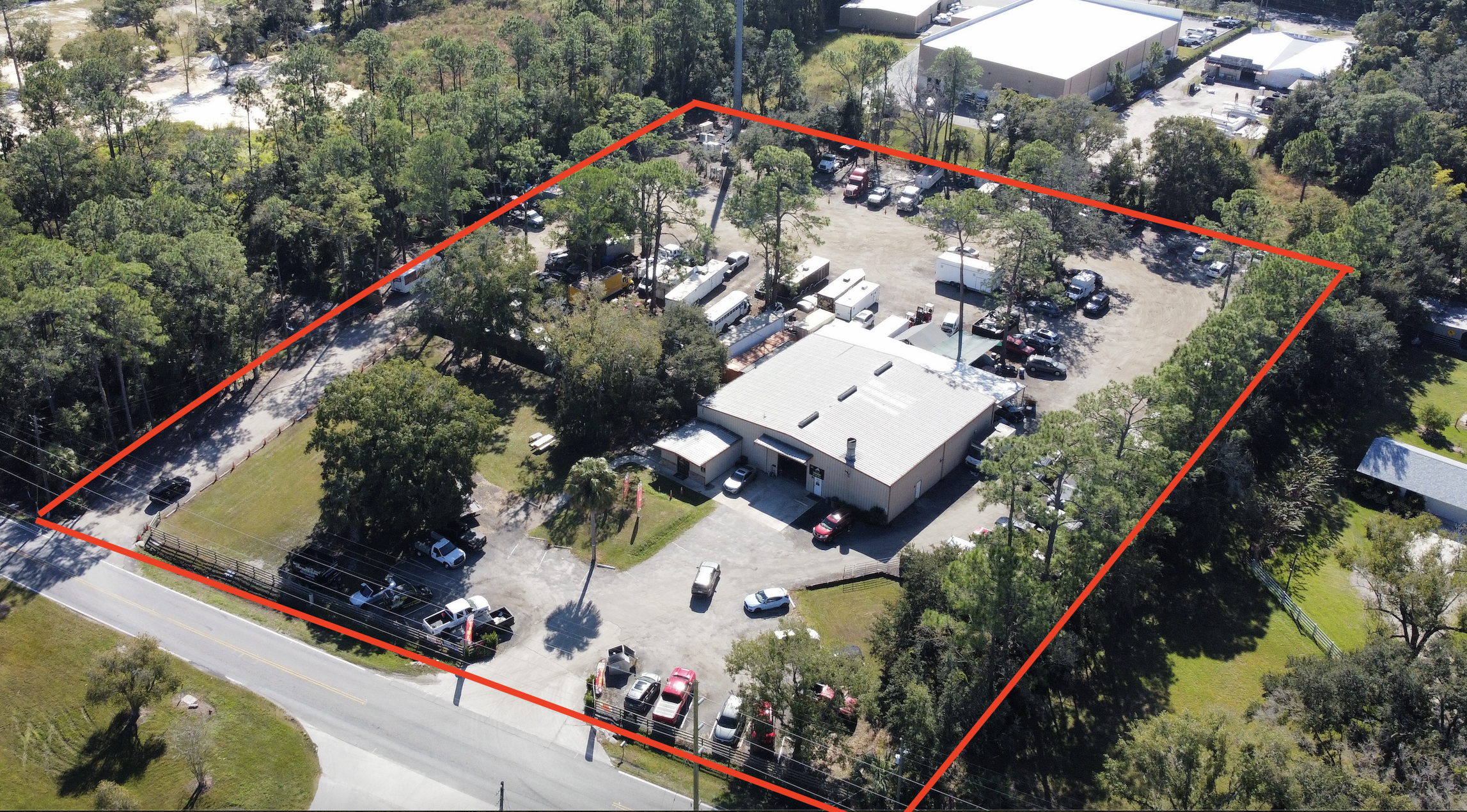
Aerial view of a commercial warehouse property with parking areas, vehicles, trailers, and wooded surroundings outlined in red.
Aerial view of large white-roofed warehouses in an industrial park surrounded by trees and undeveloped land.
Aerial view of a commercial vehicle and equipment storage yard outlined in red along Gaston Road, surrounded by farmland and suburban homes.
Aerial satellite view of a wooded industrial property at 3075 Leon Road, outlined in red, with buildings, access roads, vehicles, and two ponds.
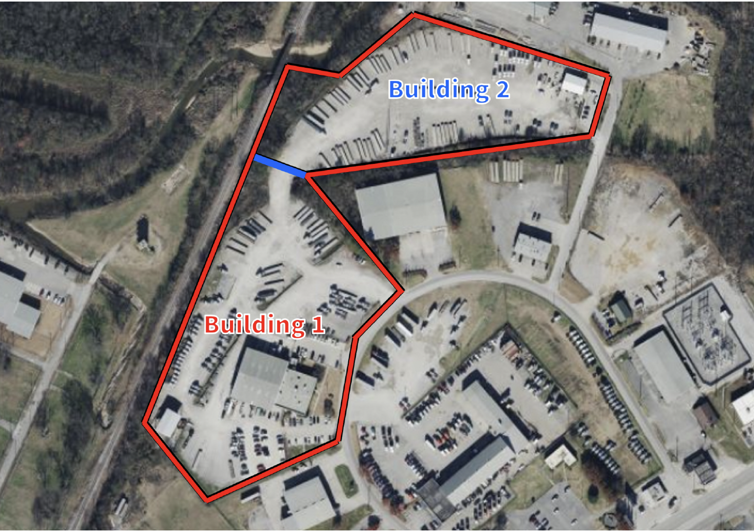
Aerial site map highlighting two industrial buildings labeled Building 1 and Building 2 with red property outlines and a blue connecting section.
Aerial view of an industrial property outlined in red, showing warehouses, parking areas, vehicles, equipment, and an undeveloped grassy lot.
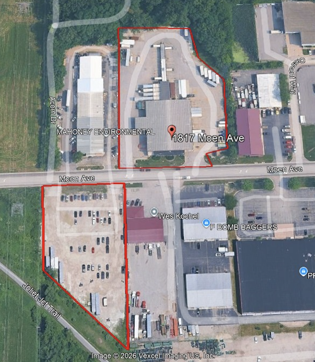
Aerial satellite map showing red-outlined commercial properties at 1817 Moen Avenue and Moen Avenue, labeled Mahoney Environmental, with nearby businesses and roads.
Aerial view of a commercial warehouse property along Hempstead Highway and McCamey Drive, outlined with a red boundary.

Industrial


Aerial site map showing a red-outlined commercial property along Shirley Lane and Export Plaza Drive, with a large warehouse, parking areas, and undeveloped ground.
Aerial satellite view of a large industrial property with multiple buildings and paved areas outlined in red along Fleming Road.
Aerial view of a large industrial warehouse and distribution facility with FedEx trailers at loading docks, surrounded by rail tracks and commercial buildings.
Aerial view of an industrial facility with large warehouses, equipment yards, shipping containers, and adjacent roads labeled Azalea Drive and Industrial Avenue.
Aerial view of a large warehouse beside a turquoise pond, surrounded by lush green trees and access roads.
Aerial view of an industrial warehouse beside a river, with a manufacturing facility and city skyline under storm clouds.
Aerial view of a large industrial warehouse complex with delivery trailers, parking lots, roads, and wooded suburban surroundings
Aerial view of an industrial warehouse and trucking facility with trailers, construction equipment, and surrounding wooded suburban buildings.
Aerial view of a JCB construction equipment dealership and machinery yard outlined in red beside a highway.
Industrial warehouse complex with a brick office building, loading docks, and Kingspan GreenGuard insulation materials outside
Aerial view of an industrial truck yard and warehouse property outlined in yellow beside Highway 55.
Aerial view of a large industrial warehouse and trucking facility with numerous semi-trailers, loading docks, and surrounding residential streets and trees.
Aerial view of an industrial manufacturing and warehouse facility at 6750 Bender Road, surrounded by trees, construction equipment, shipping containers, and access roads.
Single-story brick commercial building with arched windows, trimmed shrubs, leafless trees, and a paved parking lot under a clear blue sky
Aerial view of a snack distribution warehouse with Cheetos, Tostitos, and Lay’s delivery trucks parked in a large lot surrounded by pine trees.
Aerial view of an industrial warehouse complex with freight trucks, railcars, and wooded surroundings
Averitt Express distribution facility with rows of semi-trailer trucks behind a chain-link fence
Aerial view of a wooded industrial equipment yard outlined in red along Fullenwider Road, with a warehouse, trucks, trailers, and storage vehicles.
Aerial view of a construction and excavation site outlined in red, with heavy equipment, trucks, industrial buildings, and an access road.
Aerial view of a UPS industrial facility with a warehouse, delivery trucks, parking lot, railroad tank cars, and surrounding commercial buildings outlined in red.
Aerial view of an industrial steel storage yard with metal beams, pipes, shipping containers, and warehouses.
Aerial map showing a 16.099-acre available commercial property outlined in red at the intersection of West Market Street and Sandy Ridge Road, near Little Sandy Road.
Aerial view of an industrial facility with buildings, storage tanks, roads, rail tracks, and landscaped grounds.
Aerial view of wetlands, waterways, wooded areas, construction sites, and surrounding residential neighborhoods in autumn.
Aerial view of an industrial wastewater treatment facility with large settling ponds, rail tracks, service roads, and undeveloped land
Aerial view of a large vacant commercial building and expansive parking lot bordered by autumn trees and an electrical substation.
Aerial view of a cleared commercial property outlined in red, with storage buildings, vehicles, trees, and a residential neighborhood in the background.
Aerial satellite view of a boat storage and parking property outlined in red along U.S. Route 92.
Aerial view of an industrial facility and surrounding property outlined in red, with warehouses, parking lots, roads, utility lines, and wooded areas.
Aerial satellite view of 1049 2nd Avenue, showing a commercial building, parking areas, trees, and a red property boundary.
Aerial satellite view of a commercial property at 3125 Glenwood Lansing Road, outlined in red, with buildings, parking areas, and adjacent Green Bay Avenue.
Aerial view of a large warehouse and distribution facility with loading docks, trucks, parking areas, landscaped islands, and a red property boundary along Corporation Drive.

Commercial


Suburban shopping center with a Sprint store, parked vehicles, landscaped parking lot, and clear blue sky
Street view of a modern white commercial building with storefront windows, palm trees, street signs, and a neighboring building under a sunny sky
Bojangles fast-food restaurant exterior with brick facade, orange awnings, drive-thru menu, and branded signs
Starbucks Coffee drive-thru cafe with outdoor seating and parked cars
Modern black Starbucks coffee shop with outdoor patio and accessible parking spaces
Starbucks coffee shop with drive-thru sign and parked cars
Aerial view of a commercial office building and parking lot outlined in yellow, with 20th Place and 21st Street labeled.
Exterior of a Sonic Drive-In restaurant with red awnings and promotional signs